Home     AZ Radar  Satellite Photos County Weather  AZ Current Weather  AZ Highs-Lows  WeatherCam
U.S. Satellite Views
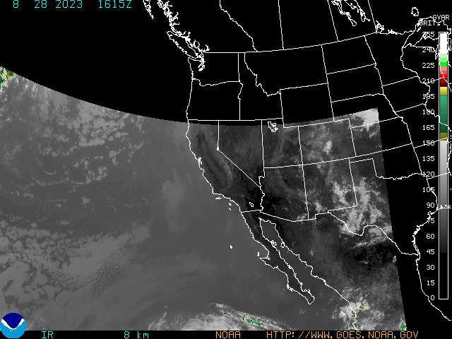
Western US View Alaskan View Hawaiian View Puerto Rican View Eastern US View
 N.O.A.A. Satellite Images
Visible Infrared Water Vapor Color Enhanced
G.O.E.S. 10 Western Sector -- Color Enhanced Infrared


Powered By HAMweather.
Copyright © 2001 - 2003 HAMweather, LLC, all rights reserved.

US Forecasts are Public Domain and derived from the
National Weather Service - (IWIN) and the National Oceanic Atmospheric Administration (NOAA)
Canadian forecasts are obtained from and are copyright of Environment Canada.